Virginia Coast Reserve LTER Research Highlights

Research Highlights

Choose a research highlight:

Dynamic Landscapes Bottom Dwellers Marsh Erosion Marshes and Sea Level Rise
Land Cover Distribution Predicting Change Shoreline Change Mobile Mammals Waterbirds
Seagrass Restoration Oyster Restoration Alternative State Dynamics

PREDICTING CHANGE – Long-term studies show that two simple environmental factors, distance from the shoreline and elevation above sea level, determine patterns in barrier island vegetation. VCR scientists are using this knowledge to forecast climate change effects on these fragile coastal landscapes.

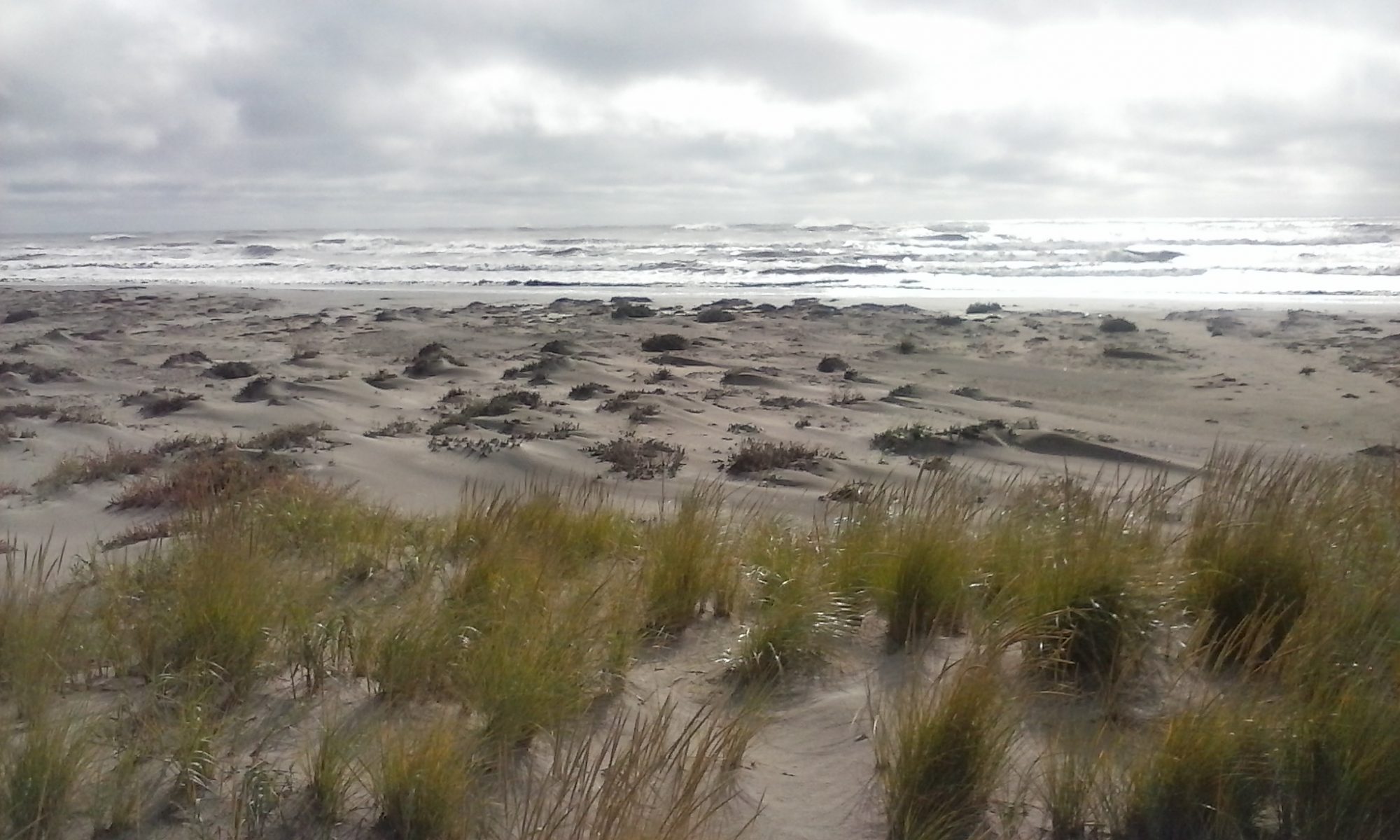
Grassy dune on a barrier island in the VCR LTER

Over the last 30 years, Virginia barrier islands have experienced dramatic shifts in plant species dominance, with over 40% of land cover changing from grassland to shrub thicket on most islands despite ~10 cm rise in sea-level and substantial (~29%) reduction in upland area (Figure 1). Long-term studies of barrier island ecology in the VCR LTER site have revealed that the controls on plant community distribution can be simplified to two key environmental parameters: distance from the shoreline and elevation above sea level (Figure 2).

Maps of shrub change

These two parameters integrate a number of important physical variables that shape barrier island plant communities. For example, distance from the shoreline affects exposure to sea spray and burial by windblown sand, as well as vulnerability to storm-related disturbance (i.e., overwash) and, as a result, the extent to which ecological succession can take place. Elevation above sea level also determines disturbance vulnerability, and influences groundwater and nutrient availability; at the same time, plants (particularly dune-building grasses) can significantly affect elevation by trapping and accumulating sand.

Vegetation Dynamics on the barrier islands in the VCR LTER site

In barrier systems, the dependence of vegetation upon the freshwater lens, which varies both spatially and temporally, is a key driver of plant communities. The recent expansion of woody vegetation across the VCR landscape is particularly notable as the shrubs are sensitive to salinity and flooding. Once grassland is converted to shrub thicket, there are significant alterations in microclimate that induce feedbacks to positively favor the maintenance of shrub thicket. The dominant woody species on Virginia barrier islands, Morella cerifera (formerly Myrica cerifera), exhibits robust physiological and functional traits that enhance growth with alterations in microclimate.

Shrub thickets serve as excellent sentinels for short-term barrier island change driven by storms and long-term change driven by rising sea level. Researchers at the VCR are using remote sensing (e.g., hyperspectral satellite imagery) and field studies of barrier island vegetation to assess and predict spatial patterns in the response of these systems to changing climate conditions.

For further reading:


Shiflett, S.A., J.C. Zinnert and D.R. Young. 2014. Conservation of functional traits leads to shrub expansion across a chronosequence of shrub thicket development. Trees 28:849-858.

Aguilar, C., J.C. Zinnert M. Jose Polo, and D.R. Young. 2012. NDVI as an indicator for changes in water availability to woody vegetation. Ecological Indicators 23: 290-300.

Zinnert, J.C., S.A. Shiflett, J.K. Vick, and D.R. Young. 2011. Woody vegetative cover dynamics in response to recent climate change on an Atlantic barrier island: remote sensing approach. Geocarto International Special Issue “Remote Sensing of Coastal System Dynamics”, 26: 595-612.

Vick, J.K., and D.R. Young. 2011. Spatial variation in environment and physiological strategies for forb distribution on coastal dunes. Journal of Coastal Research 27: 1113-1121.

Young, D.R., S.T. Brantley, J.C. Naumann, and J.K. Vick. 2011. Landscape position and habitat polygons in a dynamic coastal barrier environment. Ecosphere 2: Article 71.

Brantley, S.T. and D.R. Young. 2010. Shrub expansion stimulates soil C and N storage along a coastal soil chronosequence. Global Change Biology 16: 2052-2061.

Naumann, J.D., D.R. Anderson, and D.R. Young. 2009. Spatial variations in salinity stress across a coastal landscape using vegetation indices derived from hyperspectral imagery. Plant Ecology 202: 285-297.


Picture:

Shrubs behind a grassy dune on a barrier island

Caption: Shrubs (Morella cerifera) growing behind a grassy dune on a barrier island in the VCR LTER site.

Credit: S. T. Brantley.


Figure 1:

Map of Shrub Expansion

Caption: Decadal changes in shrub distribution (red) on Hog Island. The increase in shrub thickets over 30 years is related to decreases in minimum temperatures and precipitation and increasing atmospheric CO2.

Figure 2:

Vegetation Dynamics

Caption: Elevation and distance from the shoreline are key factors in determining vegetation dynamics on barrier islands in the VCR LTER site. Elevation determines the availability of groundwater for plants, with lower elevations more susceptible to flooding and higher elevations more vulnerable to stress from water scarcity. Distance from the shoreline modulates the extent to which salt spray, disturbance, and abrasion by windblown sand impact vegetation.

Source: D. Young, 2011


For further information:

Dr. Don Young (dyoung@vcu.edu)
Dr. Julie Zinnert (jzinnert@vcu.edu)


Choose a research highlight:

Dynamic Landscapes Bottom Dwellers Marsh Erosion Marshes and Sea Level Rise
Land Cover Distribution Predicting Change Shoreline Change Mobile Mammals Waterbirds
Seagrass Restoration Oyster Restoration Alternative State Dynamics
Alternative State Dynamics