| With sea level rising at a local rate of approximately 3.8 – 4.0 mm per year in the Virginia Coast Reserve, the capacity of marshes to survive rising sea level depends to a large degree on the vertical accretion of marsh surface as sediments are deposited on the marsh surface.
The researchers of the VCR/LTER use surface elevation tables (SETs) to measure overall elevation change, rod SETs (RSETs) to measure change associated with root zone, and marker horizons for estimating surface accretion. SETs use a stable platform and a rotating horizontal arm to detect changes in elevation of the marsh surface. RSETs are anchored in the upper surface of the marsh and measure changes in the root zone of the marsh. Videos of SET measurement activities on Phillips Creek Marsh are available at: http://www.vcrlter.virginia.edu/video/
|
Raw DataMap Displays |

Virginia Coast Reserve Long-Term Ecological Research
Ecological Research on a High-Speed Landscape: Developing a predictive understanding of how long-term change and short-term disturbance control the dynamic nature of coastal barrier landscapes.
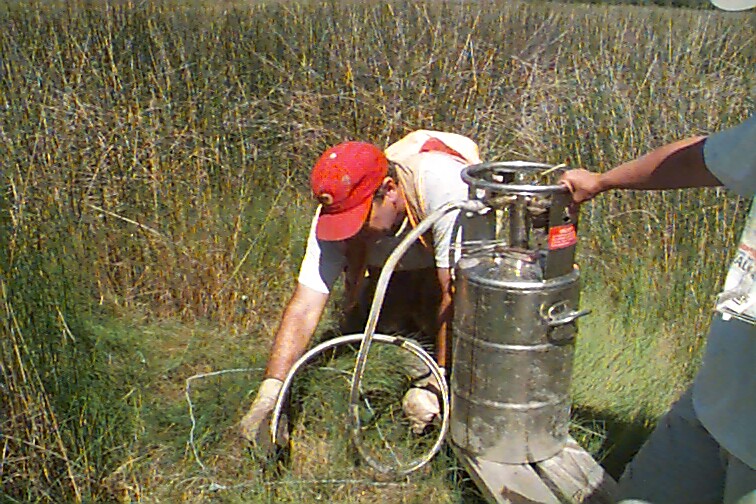 Cryocoring is used to detect the degree of burial of a marker horizon to examine the role of deposition in determining marsh elevation.