Choose a research highlight:
Virginia Coast Reserve Long-Term Ecological Research
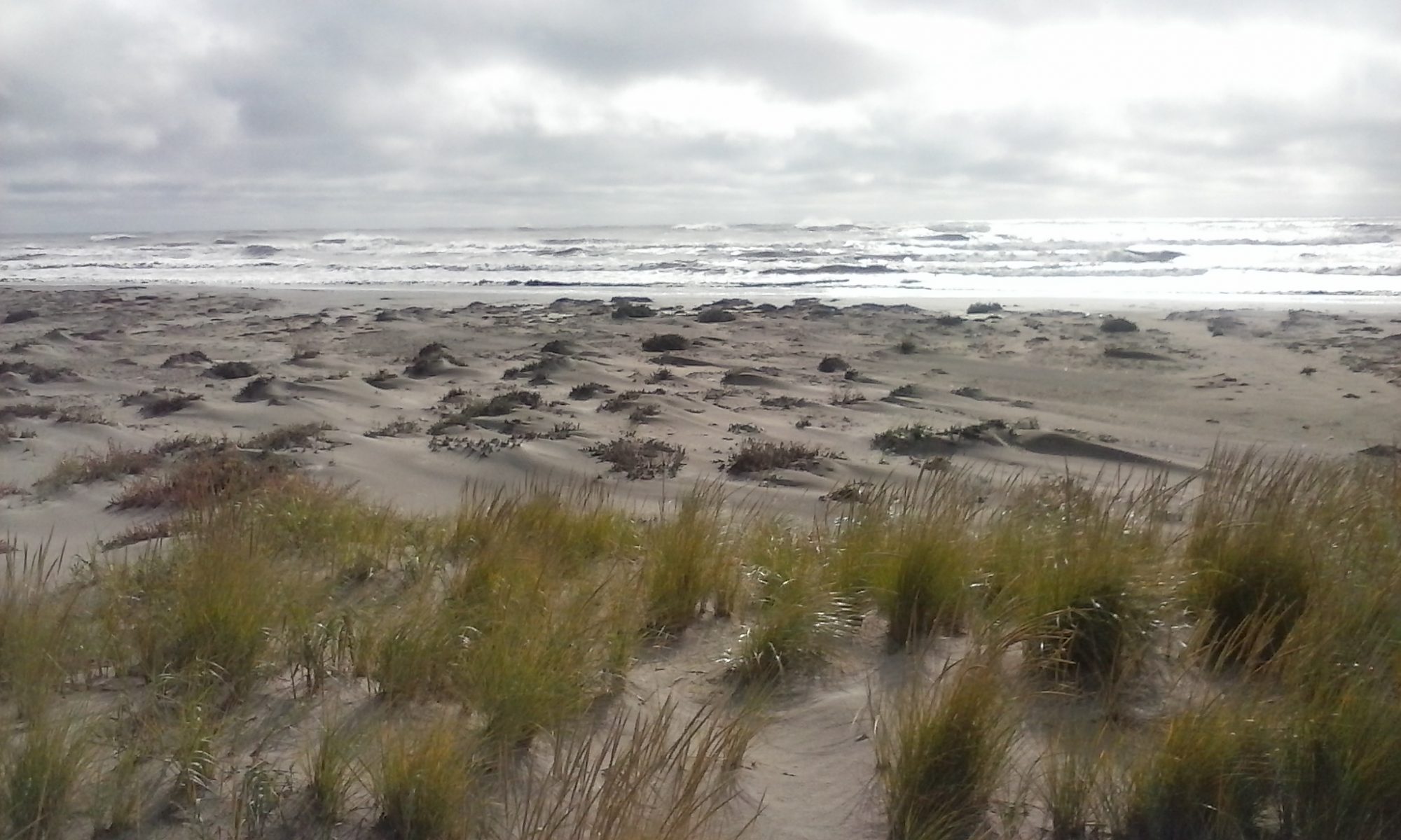
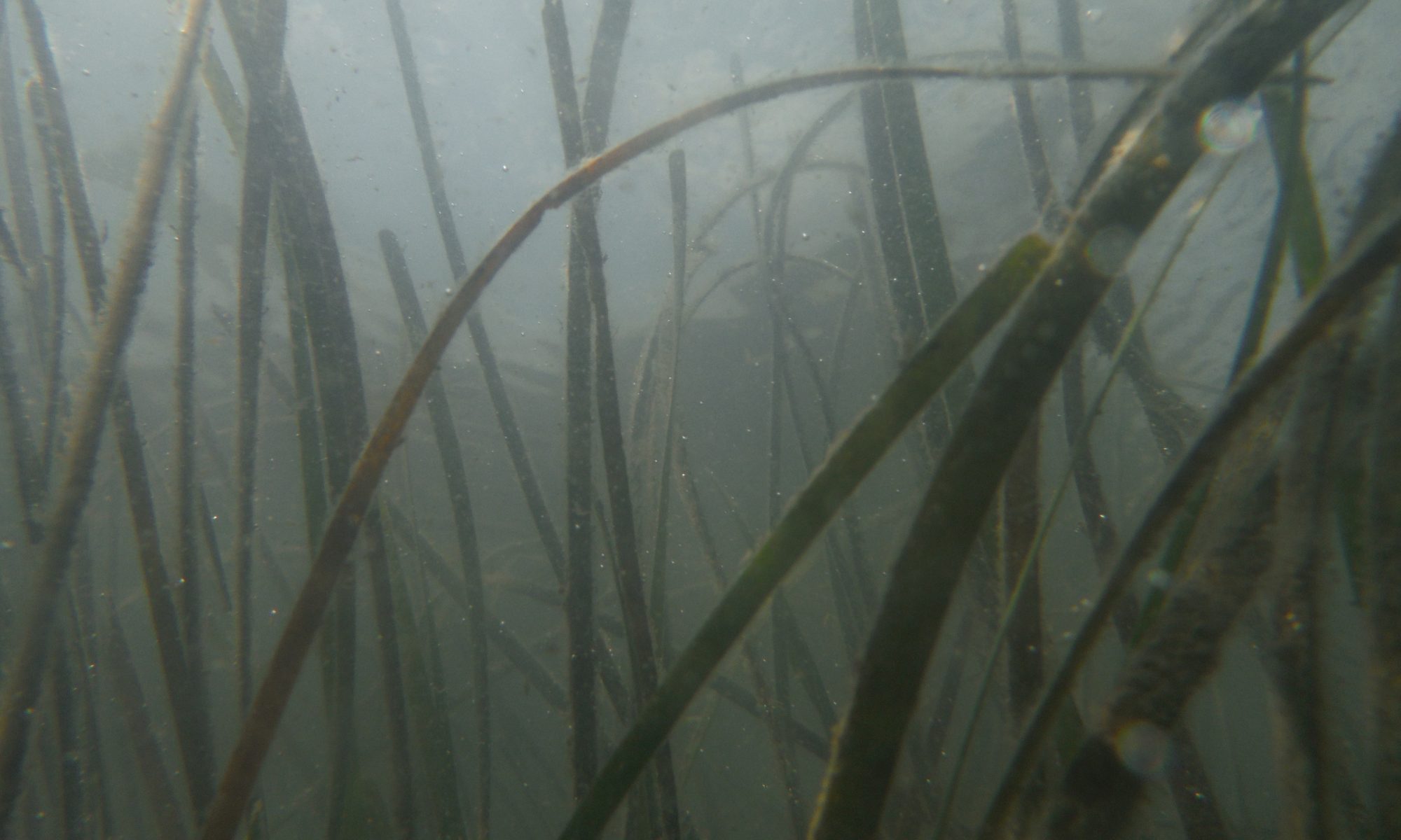
Ecological Research on a High-Speed Landscape: Developing a predictive understanding of how long-term change and short-term disturbance control the dynamic nature of coastal barrier landscapes.